QTH = SCHAIPPACH - JO40tb
"Schaippach" is a suberb of Gemuenden.
Schaippach is located on the River Sinn, about 4 km north-northwest of Gemuenden, which is located on the River Main. Both rivers merge together with a third river, the River Saal, in Gemuenden.
Although part of Schaippach is at a low altitude, my exact QTH is up a big hill, almost a mountain. It is probably the worst QTH on the planet for Amateur Radio.
DJ0IP's HF Hole.
The foto below shows the
mountains in all directions.

Photos: DJ0IP
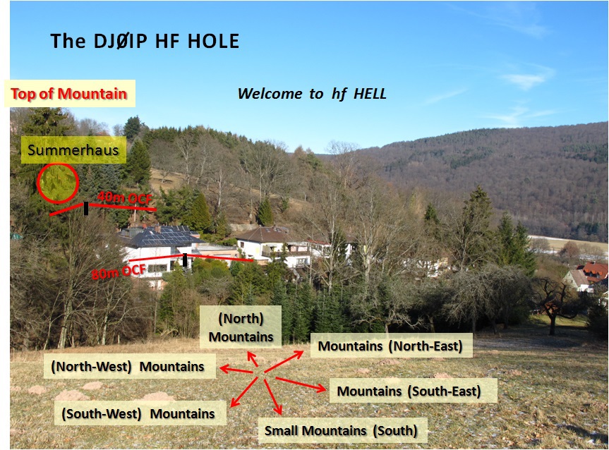
From picture you can see why high-angle radiation is the only way out of this valley.
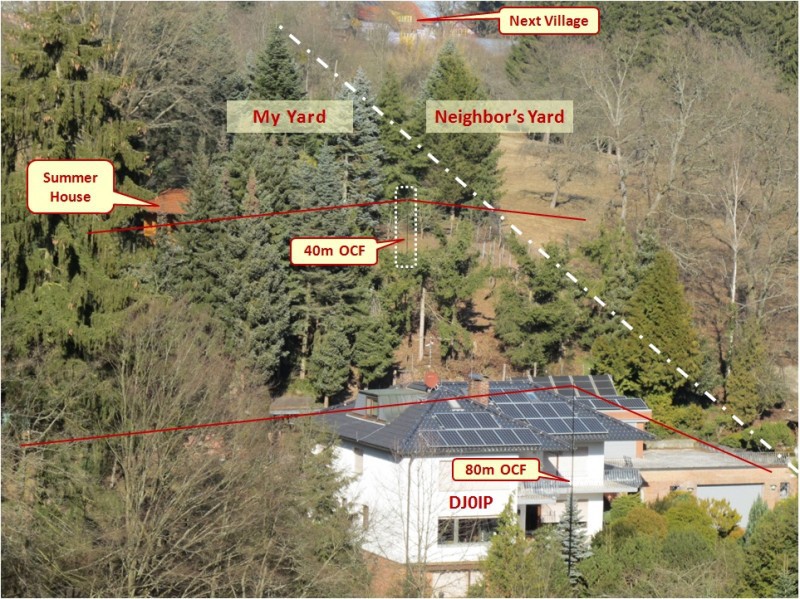
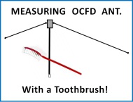
The 40m OCFD shown here in the antenna test field is not normally erected. Normally there is no antenna up there and also no coax running down to the house. It is just a bit of space I use for testing antennas with an analyzer from time to time.
 DJ0IP's Summer QTH
During the summer I can operate upstairs in our summer house. "House" is a bit of an overstatement; it's open on 3 sides. From up here I get out a little better, but I still have this mountain between me and North America.
With this darn mountain and all those rivers,
maybe I should just take up FISHING!
(By coincidence, I do have several Spiderbeam
telescoping fiberglass poles lying around).

N E W
OCFD ANTENNA
PRESENTATION


( Info-Only; NO SALES! )
Spiderbeam on Facebook:

BRAND NEW
from Spiderbeam:
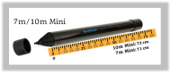
Mini "SOTA" Pole
by Rob Sherwood NC0B
(AUF DEUTSCH)

Spiderbeam FG Pole
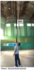
Photo: Nischal Nethrananda
A fun film about
Ham Radio Outdoors
(not just in Tenerife)
(English & German)
(nearly) Invisible Pole

An Aerial-51
Sponsored Expedition:
INTRODUCING
Special purpose Aerials:

Ultra-Lightweight antennas for expeditions and stealth applications.
+
(other)
---------------------
UPDATES:
|
|
-----------------
LL-TUNER "S-MATCH"
added to my
symmetrical tuner page.
----------------------
PROGRESSING:
LOTS OF NEW CONTENT IN THE SECTION:


Since JAN-2013
*******************